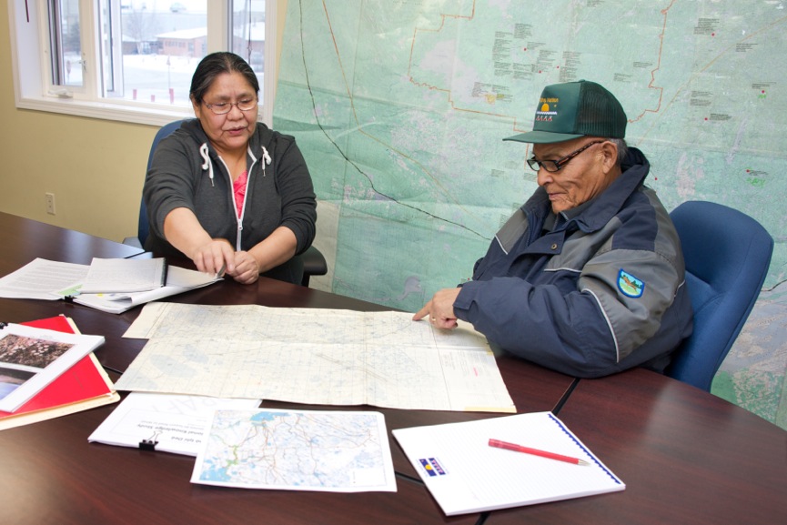
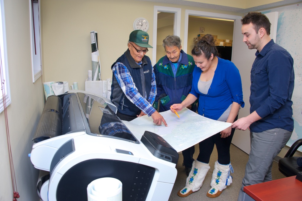
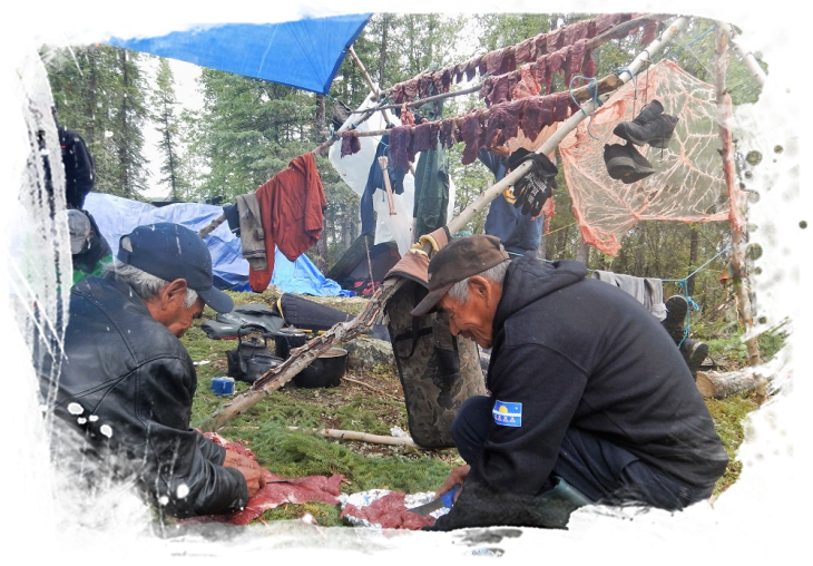
Lands Protection staff provide advice and resources to the CEC, other Tłı̨chǫ Government departments, working groups, and where appropriate, Tłı̨chǫ citizens about Tłı̨chǫ lands by: storing and sharing maps; developing and maintaining information about Tłı̨chǫ land in general, and specifically about important sites and areas by developing and maintaining a Geographical Information System (GIS) about Tłı̨chǫ land that captures, stores, analyses, manages and presents data with reference to geographic location data. A GIS Traditional Knowledge Database was initiated in 1993 and has been developed through transcribing traditional history related to Tłı̨chǫ place names and a Data Collection Project, on the land, led by elders and recording the information into a series of digital maps.
There is a GIS Traditional Knowledge Database that was initiated in 1993 and has been developed through transcribing traditional history related to Tłı̨chǫ place names and a Data Collection Project, on the land, led by elders and recording the information into a series of digital maps.


